Auction 71 - The Collection of Rabbi Prof. Daniel Sperber
Map of Palestine – Strasburg, 1525 – Hand-Colored Woodcut
Opening: $400
Sold for: $1,375
Including buyer's premium
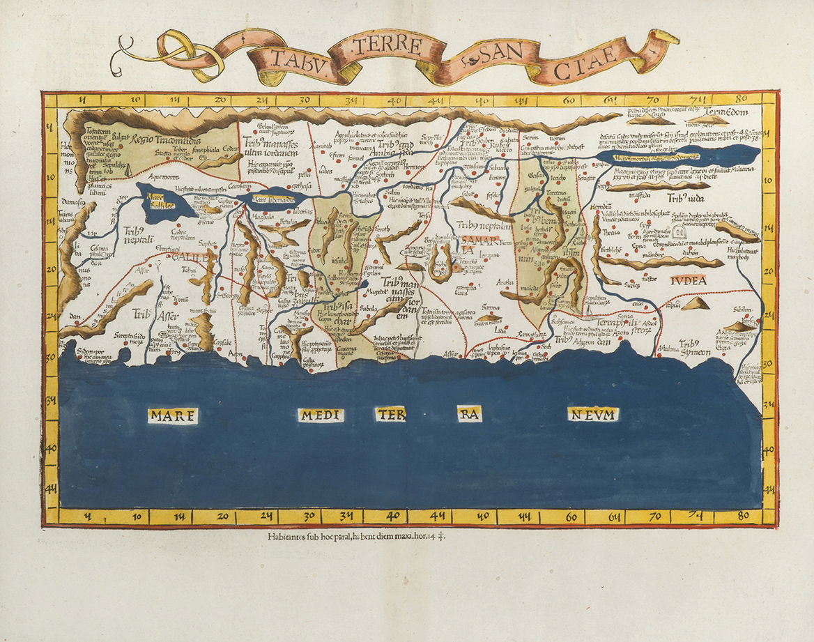
Tabu[la] Terre Sanctae, map of Palestine edited by Lorenz Fries. Hand-colored woodcut from Geographia by Claudius Ptolemaeus (Ptolemy), edited by Willibald Pirckheimer. [Strasburg, 1525].
Map of Palestine oriented to the east, showing the territories of the Tribes. The shoreline stretches between Sidon and Gaza. Latin text on verso, p. 41.
Leaf: 39X48 cm. Good condition. Worming, professionally restored. A few pieces of paper on verso. Framed.
See Laor 612 – a later edition of an identical map.
Maps of Palestine
Maps of Palestine